When Open Skies Go Dark: The EU, Copernicus, and the Censorship of Conflict
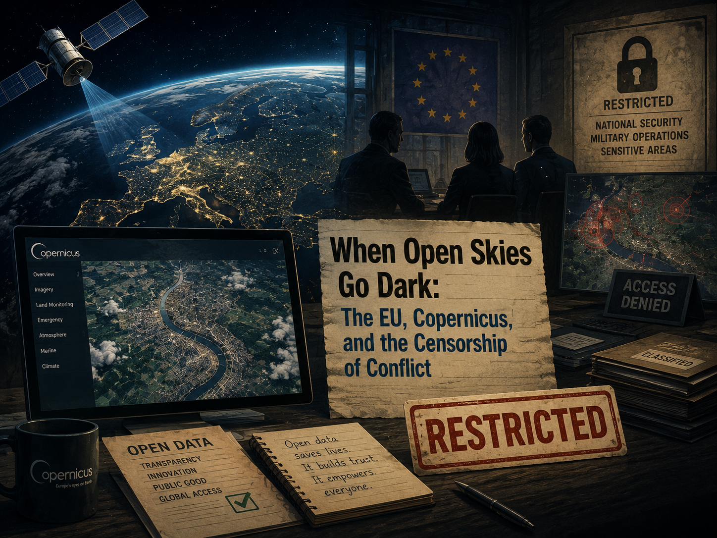

For decades, the promise of space-based Earth observation has been rooted in democratization. If a satellite is orbiting a few hundred kilometers above our heads, capturing photons or bouncing radio waves off the Earth’s surface, why should that information belong exclusively to superpowers and intelligence agencies? Programs like the European Union’s Copernicus initiative were built on this exact premise, providing free, open-access satellite data to anyone with an internet connection.
However, that paradigm shifted when the EU faced calls to restrict open-access Copernicus satellite imagery of the Iran conflict region following requests from the United States. This friction highlights a growing tension in the modern technological landscape: what happens when public transparency collides with military operational security? For developers, OSINT (Open-Source Intelligence) practitioners, and technologists, this event marks a critical turning point. It forces us to examine the fragility of open data when geopolitics enters the chat.
Under the Hood of Copernicus: Sentinel-1, Sentinel-2, and SAR
To understand what is being restricted—and why it matters—we need to look at the technical architecture that makes programs like Copernicus so powerful. Copernicus is not a single satellite, but a complex family of dedicated missions known as the Sentinel constellations, alongside Contributing Missions operated by national, European, and international organizations.
At the core of open-source conflict monitoring are two distinct workhorses: Sentinel-1 and Sentinel-2.
| Constellation | Sensor Type | Key Technical Feature | Primary Utility in OSINT |
|---|---|---|---|
| Sentinel-1 | Synthetic Aperture Radar (SAR) | Active sensor; penetrates clouds, smoke, and darkness. | All-weather damage assessment, detecting structural collapses and surface deformation. |
| Sentinel-2 | Multispectral Optical | Passive sensor; captures high-resolution visible and infrared light. | Visual confirmation of scorch marks, military movements, and environmental changes. |
The Mechanics of Synthetic Aperture Radar
While optical imagery from Sentinel-2 is intuitive—it looks much like a high-altitude photograph—it has a major blind spot: it relies on sunlight and can be entirely blocked by cloud cover, smoke, or the darkness of night.
This is where Synthetic Aperture Radar (SAR) on Sentinel-1 changes the game. SAR is an active imaging system. Instead of waiting for the sun to illuminate the Earth, the satellite emits microwave pulses toward the ground and measures the backscatter—the echo that bounces back to the antenna. By synthesizing the movement of the satellite along its orbital path, the system creates an aperture that is much larger than the physical antenna, resulting in high-resolution radar imagery.
[Sentinel-1 Satellite]
       │
       ▼ (Emits Microwave Pulses)
   ~~~~~~~~~~~~~~~~~ (Penetrates Clouds, Smoke, Darkness)
       │
       ▼
[Earth's Surface] ──> (Scatters back radar echo) ──> [Processed into SAR Imagery]
For developers and analysts working with this data, downloading raw Level-1 Single Look Complex (SLC) or Level-2 Ground Range Detected (GRD) products involves processing complex matrices. Because radar backscatter is sensitive to surface roughness and dielectric properties (such as moisture), a heavily damaged building with rubble scatters radar waves differently than a flat, intact asphalt roof. Analysts can use techniques like coherence change detection (CCD) to programmatically map structural destruction down to the square meter, regardless of whether a strike happened at noon under a clear blue sky or at midnight during a sandstorm.
The Copernicus data pipeline is designed for transparency: raw telemetry is downlinked to ground stations, processed through automated calibration and orthorectification pipelines, and published to open data hubs like the Copernicus Data Space Ecosystem for public consumption. Anyone can write a Python script using libraries like sentinelsat or pystac to query, filter, and download petabytes of planetary observations.
The Rise of OSINT: Democratizing Conflict Monitoring
The availability of this data pipeline birthed a new era of decentralized verification. Historically, assessing the scale of a military conflict, verifying a disputed airstrike, or documenting infrastructure destruction was the exclusive domain of state intelligence apparatuses equipped with classified reconnaissance assets.
Today, that monopoly is broken. Organizations like Bellingcat, alongside major investigative newsrooms such as The New York Times, routinely leverage Copernicus imagery alongside commercial satellite data to verify military strikes in real time.
Consider how an OSINT workflow typically operates during an active conflict:
- Initial Reports: Local sources or social media channels flag an explosion or unusual military activity in a specific geographic region.
- Temporal Filtering: Analysts query the Copernicus Data Space Ecosystem for Sentinel-1 SAR and Sentinel-2 optical captures over those coordinates, filtering for dates immediately before and after the reported event.
- Data Ingestion & Processing: Using open-source GIS software like QGIS or Python environments with
rasterioandgeopandas, analysts stack the before-and-after imagery. - Change Detection: By computing normalized burn ratios (NBR) on optical imagery or analyzing backscatter intensity shifts in SAR data, they pinpoint exact structures that have been altered, burned, or flattened.
This shift from state-monopolized intelligence to decentralized civilian verification has profound implications. Governments can no longer easily obfuscate the scale of civilian infrastructure damage or deny kinetic strikes when high-resolution, objective geospatial evidence is freely downloadable by anyone with a broadband connection.
Geopolitics Meets Geospatial: The Request to Restrict
Because open-access Earth observation data has become such a powerful tool for accountability, it has also become a strategic vulnerability. When the European Union faced calls to delay or restrict the release of Copernicus imagery over the Iran conflict region following requests from the United States, it laid bare an inherent friction in modern technology policy.
From a national security perspective, real-time or near-real-time satellite data of an active theater of war is a double-edged sword. While it empowers journalists and human rights monitors, it can also be harvested by hostile actors or the belligerents themselves to conduct battle damage assessment (BDA). If a military coalition launches a precision strike, immediate public satellite imagery can inadvertently reveal to the adversary whether the target was successfully neutralized, which defense systems remain active, or how supply lines are shifting.
This creates a severe policy dilemma for the EU:
- The Open Science Mandate: The Copernicus program was established to foster European technological sovereignty, support environmental monitoring, and uphold open science principles. Implementing censorship undermines the foundational trust of the platform.
- Allied Strategic Objectives: Geopolitical alliances often demand operational security alignments. When a superpower partner requests data restrictions to protect tactical maneuvers, resisting that pressure can strain diplomatic relationships.
The mechanism of restriction itself is not trivial. Unlike commercial providers who can simply toggle an API key or withhold a specific archive tile at a CEO’s discretion, public scientific programs are bound by strict legal charters and data policies. Introducing delays, blackouts, or geographic carve-outs in a public repository requires navigating bureaucratic and legal hurdles that turn open-source data pipelines into political battlegrounds.
The Impact on Transparency and Accountability
When open-access Earth observation data is filtered, delayed, or restricted under the guise of security, the immediate casualty is independent verification.
For independent researchers, human rights watchdogs, and investigative journalists, restricted satellite data creates a severe asymmetry of information. Governments and well-funded military contractors retain access to classified, high-resolution reconnaissance assets, while the public, civil society, and smaller research collectives are left blind. This dynamic makes it exceedingly difficult to independently verify casualties, assess the proportionality of military strikes, and hold accountable those responsible for violations of international humanitarian law.
Furthermore, these restrictions blur the lines between public civilian infrastructure and military operational security. Copernicus was primarily designed for environmental monitoring, agriculture, climate tracking, and disaster response. When an Earth observation satellite built to track crop health or wildfire smoke is subjected to conflict-zone censorship, the collateral damage spills over into civilian and scientific applications. Researchers studying climate change or hydrological shifts in the Middle East suddenly find their data pipelines throttled or scrubbed.
This erosion of access also breeds a deeper erosion of trust. If a repository dedicated to open science begins censoring data based on geopolitical expediency, users can no longer assume that the archive is complete or objective. The metadata loses its integrity when gaps appear precisely where historical documentation is most desperately needed.
Future Outlook: The Balkanization of Space Data
As commercial and public space capabilities continue to expand, the pressure on open-data initiatives is only going to intensify. We are moving away from a unified global internet and a shared open-sky data commons toward the balkanization of space intelligence.
Looking ahead, we can anticipate several structural shifts in how geospatial data is managed during conflicts:
- Regularized Carve-Outs and Emergency Protocols: Public programs like Copernicus may formalize emergency protocols that allow for automated or requested data blackouts over active combat zones, transforming what is currently an ad-hoc political dispute into standard operating procedure.
- The Rise of Sovereign and Commercial Walls: As public repositories face political interference, the burden of conflict monitoring will increasingly shift toward commercial satellite constellations. However, commercial providers are even more susceptible to government pressure, export controls, and direct acquisition, meaning “open” data may simply become the most expensive data you can buy.
- Decentralized and Resilient OSINT Tooling: In response to centralized censorship, the OSINT community will likely invest in more resilient, decentralized architectures—leveraging smaller constellations, radio frequency (RF) monitoring, and peer-to-peer data sharing to circumvent single points of failure.
The democratization of space data was one of the great technological triumphs of the early 21st century. But as open skies increasingly go dark under the pressure of geopolitical conflict, we are reminded that technology alone cannot protect transparency. Preserving the integrity of open-access Earth observation will require active defense from the developers, scientists, and citizens who rely on it to keep the world in plain sight.
